01
Full Canopy Penetration
Multi-return pulses strip 95%+ closed canopy to expose true bare-earth topography.
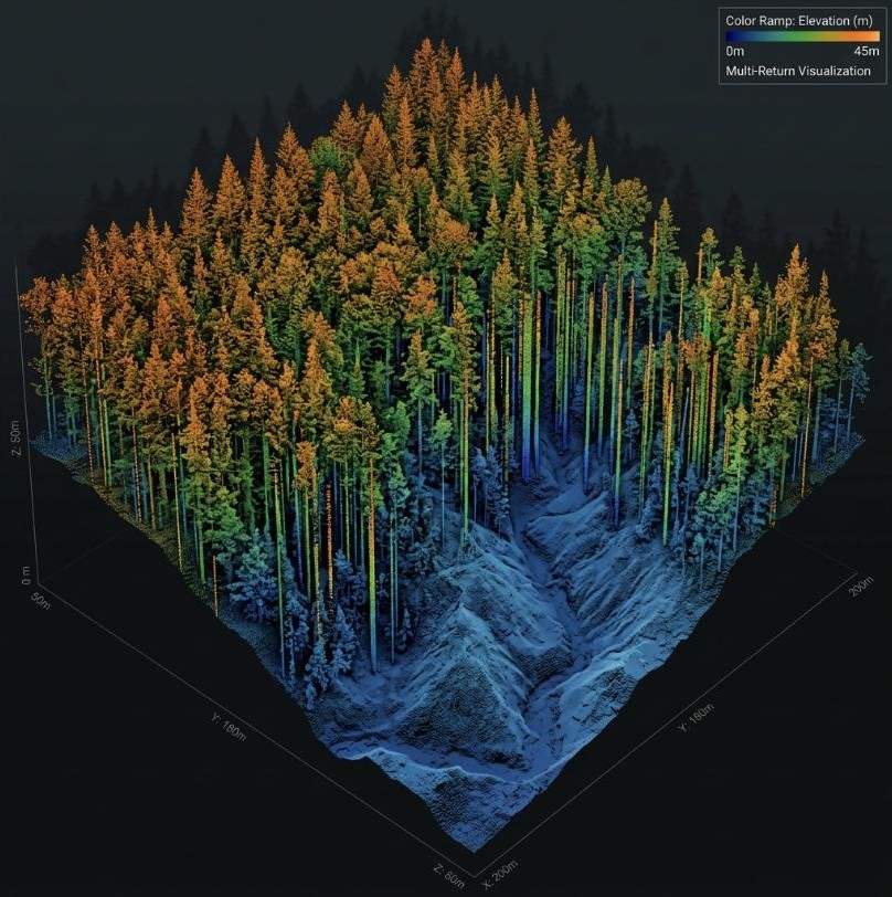
Our multi-return LiDAR payloads penetrate dense forest canopy to generate bare-earth Digital Elevation Models with centimeter-level vertical accuracy. Raw point clouds are converted into actionable metrics: tree height, basal area, crown diameter, biomass estimates, and timber volume.
01
Multi-return pulses strip 95%+ closed canopy to expose true bare-earth topography.
02
Algorithmic extraction of individual tree heights, volumes, and stand densities.
03
Biomass outputs formatted for certified carbon offset compliance and REDD+ programs.
01 / Challenge
Dense mixed-boreal canopy made ground contouring impossible across 450ha.
02 / Solution
Acquired high-density LiDAR point clouds at 200 pts/m² across watershed grid.
03 / Results & Impact
Delivered 10cm contour DTMs pinpointing 12 runoff pathways and erosion zones.