01
Sub-Nanotesla Precision
Isolate geological anomalies at 0.1 nT sensitivity with real-time base station diurnal corrections.
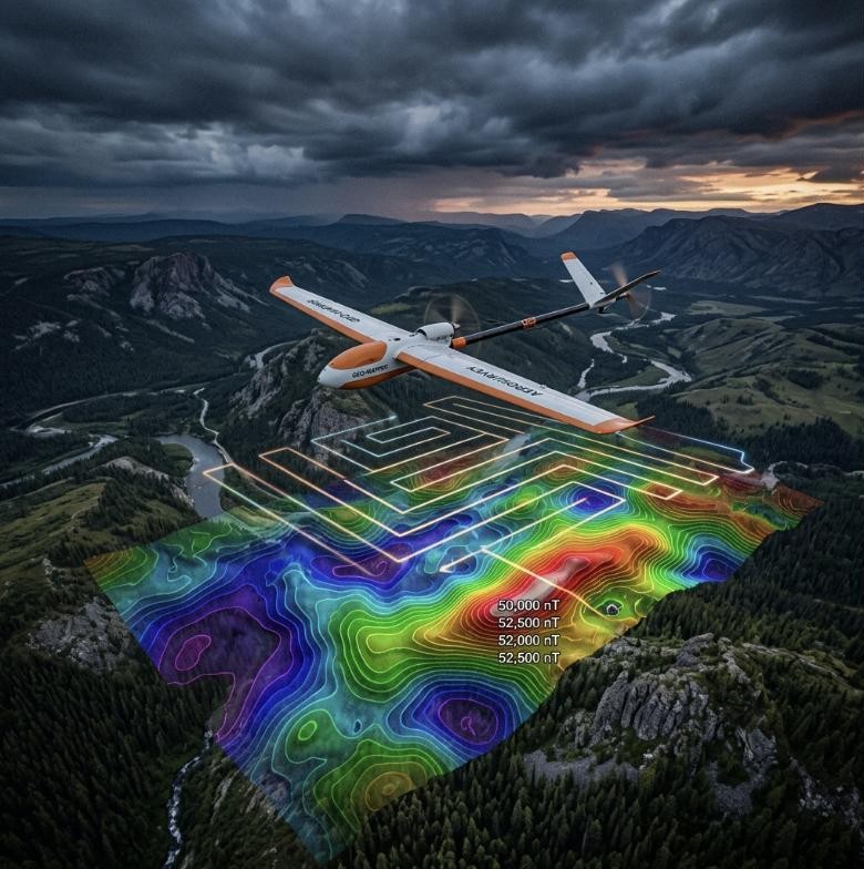
We mount triaxial cesium-vapor and fluxgate magnetometer payloads on custom electromagnetically isolated hexacopter frames. Active motor noise compensation enables sub-nanotesla sensitivity at low flight altitudes — delivering data quality that rivals traditional helicopter sweeps at a fraction of the cost.
01
Isolate geological anomalies at 0.1 nT sensitivity with real-time base station diurnal corrections.
02
Autonomous flight grids completely bypass the environmental footprint and cost of ground grid clearance.
03
Cover 200+ line-km daily with automated GIS-ready datasets within 48 hours.
01 / Challenge
Dense boreal forest and industrial mine EMI masked target contact zones.
02 / Solution
Deployed active motor EMI compensation; flew 350 line-km at 30m altitude.
03 / Results & Impact
Mapped 1.2km magnetic anomaly with 2 confirmed drill-ready targets under 40m till.