01
Subsurface Precision
Isolate minute magnetic variations down to the sub-nanotesla level to trace target shear zones.
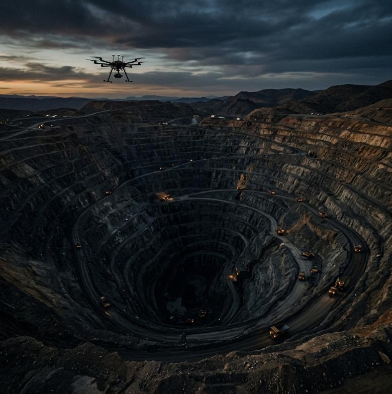
We map structural boundaries, faults, and mineralized contacts hidden beneath thick overburden. Our low-altitude drone magnetics provide clean, high-resolution geodatasets that identify exploration targets faster and at lower costs than traditional helicopter sweeps.
01
Isolate minute magnetic variations down to the sub-nanotesla level to trace target shear zones.
02
Completely bypass the high costs and environmental footprint of cutting ground grid lines.
03
Deploy automated flight grids to map hundreds of line-kilometers in days instead of weeks.
01 / Challenge
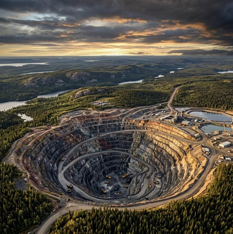
Industrial EMI grid noise and dense forest cover prevented traditional manned flights from mapping contact zones.
02 / Solution
Deployed custom hexacopter arrays with active noise filters and digital compensation algorithms.
03 / Results & Impact
Mapped a clear 1.2km anomaly zone, identifying two drill-ready targets under 40 meters of till cover.