

Defense & Remediation
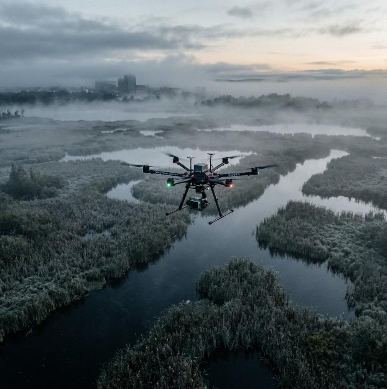
Mer Bleue Ordnance Mapping
Triaxial magnetometer array scanning Ottawa wetlands to map legacy ordnance anomalies with centimeter-level positional accuracy.
Read Case Study →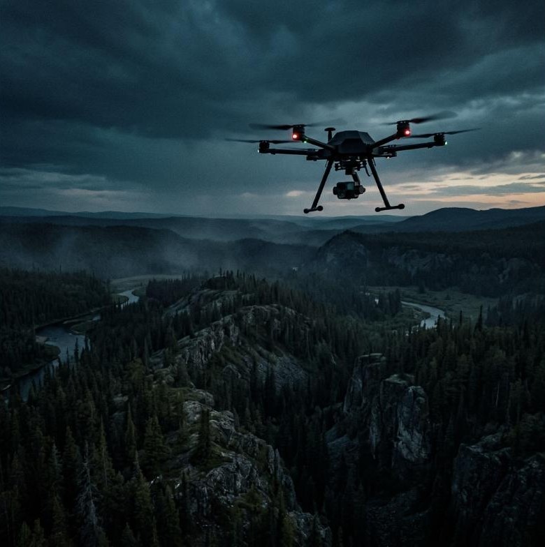
We deploy custom-engineered, multi-sensor UAV payloads with active EMI motor isolation — bridging the gap between low-resolution satellite sweeps and expensive manned flight programs.
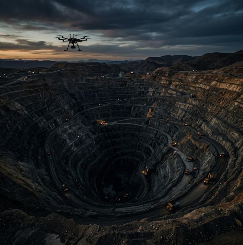
High-resolution, sub-nanotesla triaxial magnetic anomaly mapping utilizing custom electromagnetically isolated drone frames. Detect structural contacts, shear zones, and geological formations hidden beneath thick overburden.
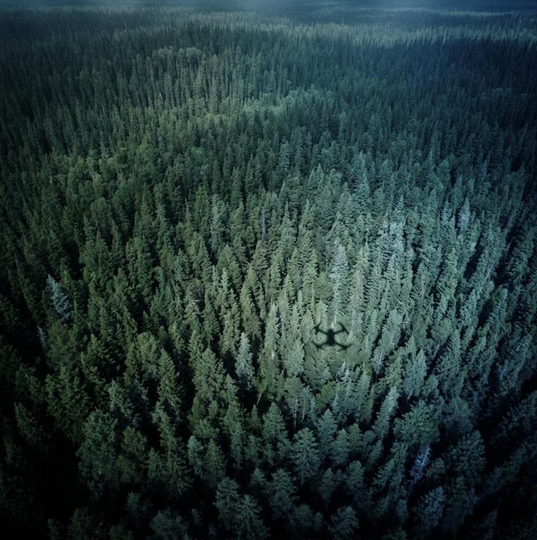
High-density 3D point clouds penetrating dense canopy to generate bare-earth Digital Elevation Models and volumetric audits. Multi-return systems delivering centimeter-level vertical accuracy.
Multispectral and thermal infrared surface scanning for environmental site assessments, pipeline corridors, and moisture indices. Full spectral calibration against ground truth panels.
Explore field deployments across Canada and North America. Click any pin to view project details.
Interactive hardware inspector — custom composite hexacopter with active blue-gimbal magnetometer array.
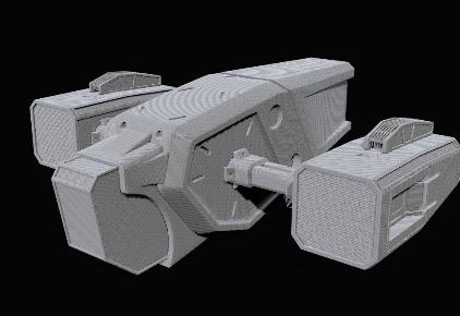 Static image — 3D model in phase 2
A complete three-quarter perspective highlighting the autonomous stealth composite airframe.
01 / 07
Triaxial magnetometer array scanning Ottawa wetlands to map legacy ordnance anomalies with centimeter-level positional accuracy.
Read Case Study →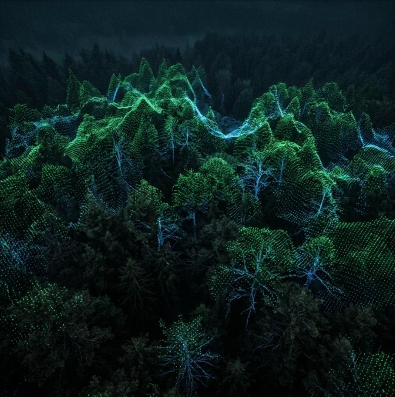
Multi-return LiDAR arrays deployed over commercial forestry grids to map vertical canopy metrics and biomass indices.
Read Case Study →