01
Canopy Penetration
Multi-return laser pulses strip thick forest crowns to reveal true ground contours.
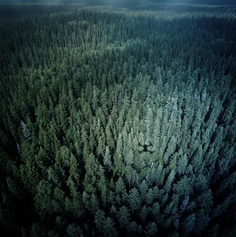
We acquire high-density remote sensing data to map environmental resources, evaluate hydrology, and monitor infrastructure. Using multi-return LiDAR and thermal sensors, we deliver bare-earth models under canopy.
01
Multi-return laser pulses strip thick forest crowns to reveal true ground contours.
02
Thermal and multispectral indices map vegetation health, moisture, and seeps.
03
Continuous pipeline and powerline corridor audits to flag soil slips and vegetation.
01 / Challenge
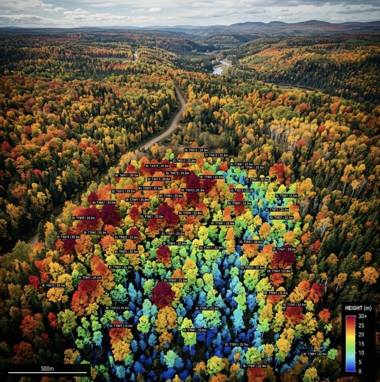
Densely forested runoff basins made ground hydrology audits and contouring impossible.
02 / Solution
Conducted high-density LiDAR and multispectral drone flights over a 450-hectare grid.
03 / Results & Impact
Generated 10cm contour DTMs, pinpointing active runoff pathways and erosion risk spots.