01
Thermal Anomaly Detection
Pinpoint subsurface leaks, heat vents, and moisture seeps invisible to optical cameras.
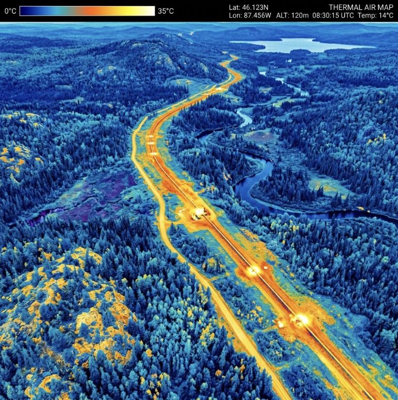
We deploy multispectral and calibrated thermal infrared sensor payloads to map surface conditions across vast infrastructure corridors and agricultural grids. From pipeline leak detection to crop stress analysis, our acquisitions deliver environmental intelligence without manned aircraft costs.
01
Pinpoint subsurface leaks, heat vents, and moisture seeps invisible to optical cameras.
02
Generate NDVI, NDWI, and red-edge stress maps for crop and forest ecosystem health.
03
Continuous pipeline and utility sweeps flagging thermal hotspots and soil slips.
01 / Challenge
Manual walking inspections of a 90km corridor delayed operations.
02 / Solution
Flew thermal and multispectral sweeps at 60m AGL across the right-of-way.
03 / Results & Impact
Flagged 7 thermal anomalies and 23 encroachment zones in 3 flight days.