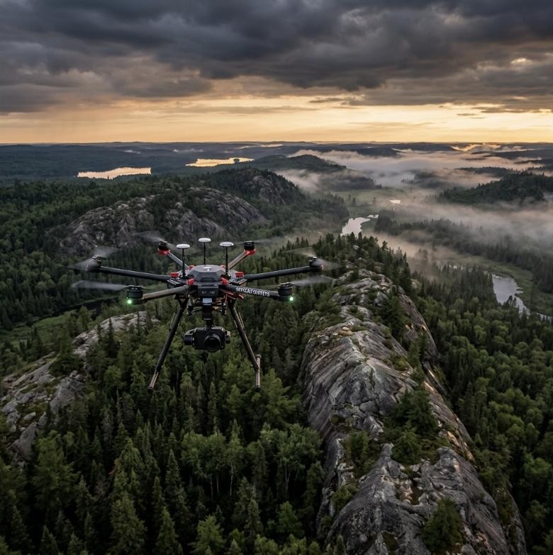
We specialize in custom multi-sensor UAV integrations, delivering survey-grade geospatial and subsurface data for resource exploration, defense, and environmental monitoring.
Our Background
Founded by Carleton University graduate Pablo Arzate, 3XMAG Technologies Inc. was established in Ottawa, Canada, to address the high costs and safety hazards associated with regional manned helicopter flights and manual ground surveys.
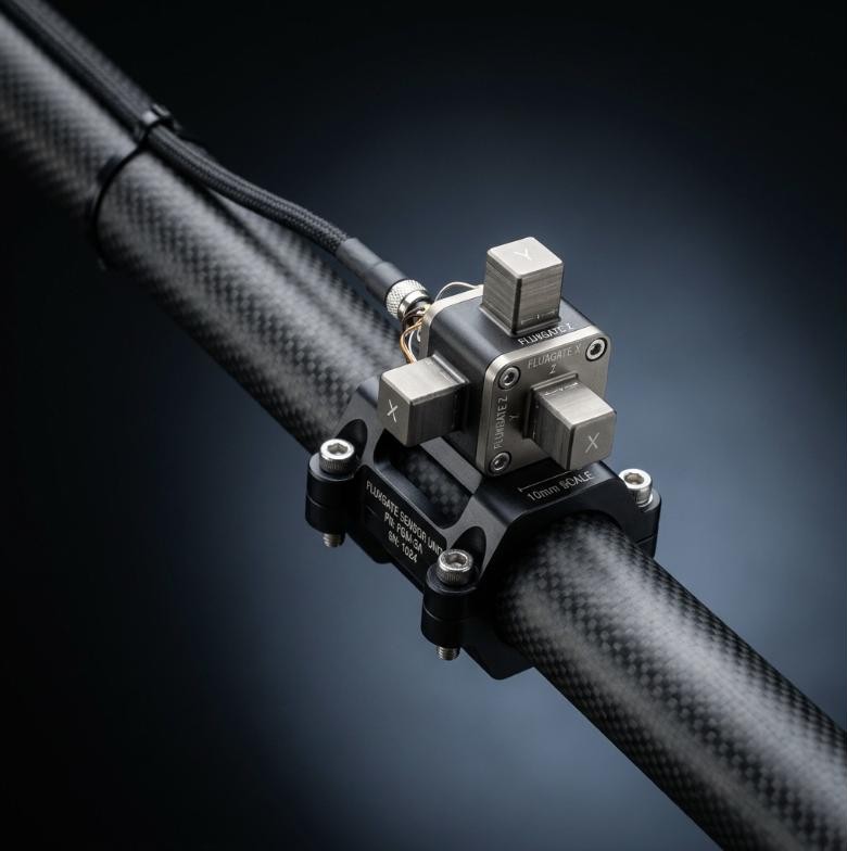
By designing active motor isolation systems and mounting sensitive triaxial magnetic arrays on lightweight drones, we successfully introduced survey-grade diagnostics to mineral exploration, defense remediation, and forestry canopy audits.
Our Mission
"To make high-resolution geophysical and remote sensing insights safe, accessible, and immediately actionable using autonomous drone technology."
01
Deliver scientific-grade subsurface datasets.
02
Map legacy unexploded ordnance to protect land safety.
03
Automate low-altitude sweeps to replace ground grid crawls.
Triaxial Fluxgate Array
Core Principles
What Drives Our Engineering
Sub-Nanotesla Precision
We calibrate every sensor payload to isolate motor magnetic signatures, capturing variations down to the sub-nanotesla level.
Safety & Autonomy First
By deploying autonomous low-altitude UAV flight grids, we completely remove operators from high-risk terrain traverses.
Open Innovation
We partner with leading academic research centers and defense coalitions to test and benchmark next-generation magnetic arrays.
Complete Integrity
We guarantee clean chains of custody, delivering survey-grade geotagged GIS formats ready for immediate drill scoping.
Deployed Across Canada & North America
R&D Network
Research & Industry Partnerships
Collaborating with academic institutes and scientific panels to push remote sensing boundaries.
Carleton University Science Labs
Quantum Sensor Benchmarking
Collaborating on miniature vapor-cell magnetometer field calibrations and payload stabilization.
Invest Ottawa Innovation Hub
UAV Pilot Infrastructure
Piloting regional environmental remote sensing operations and geological dataset testing.
Mer Bleue Wetlands Project
Triaxial Magnetometry Validation
Demonstrating drone-based magnetometer capabilities to detect legacy unexploded ordnance in Ottawa.